Developer: Schedule now a presentation of our solutions.
Início » Solutions » Teleport OUTDOOR
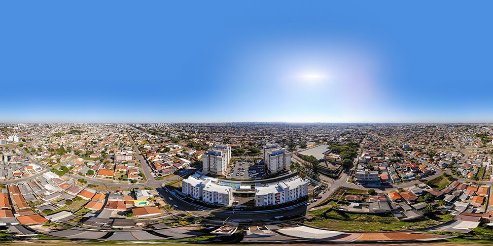
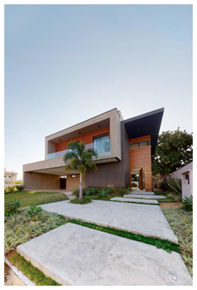
Virtual tour platform for large outdoor areas, with aerial and ground panoramas
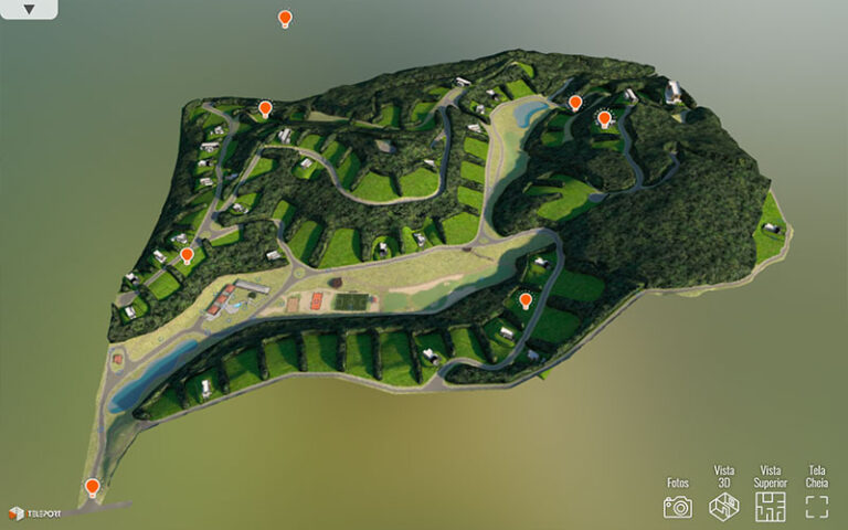
Condominiums, allotments, neighborhoods, farms and historical heritage can be digitized in great detail and easily made available online
With the help of our franchise network, regional professionals document the entire location with drones and 360° cameras without extra travel costs
Discover unusual ways to present large projects by integrating aerial, ground, 3D modeling and drone scanning materials
It is now possible to digitally experience preservation areas and entire historical heritage, whether distant or endangered
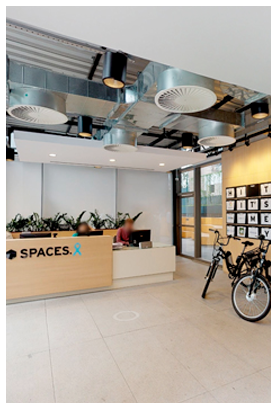
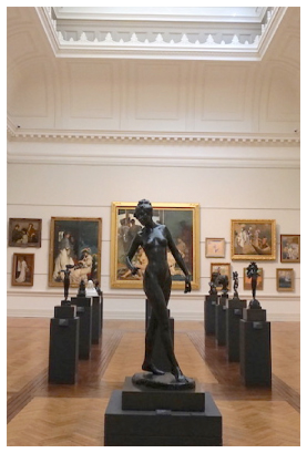
The complete digitalization, external and internal, of large spaces
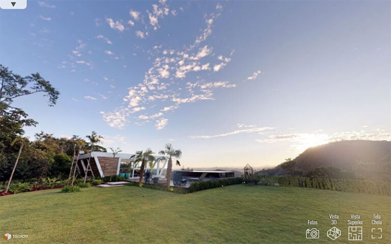
360° registration in high quality for walking around
360° registration in high quality for flying aroud
Generation of 3D model of the region
Unique photorealistic experience of large areas
Connect with detailed tours of the indoor areas
Texts, images and videos that explain the property highlights
Fill out below to contact our sales team
Fill out the form to speak with one of our consultants
Customized solutions for each market segment